Well, we tried to make our stop at Cedar Breaks Nat’l Monument, at Point Supreme Campground. We got there and did a drive thru, found no vacancies to be had, so we kept going on toward Bryce Canyon Nat’l Park. Our next choice worked out well for us, we found space at the Red Canyon Campground, a forest service campground. It was a typical forest service campground, no hookups but had water, toilets (pit and flush), and a dump station inside the park. The price was right at $7.50 per night (annual National Parks pass price) and we got a nice pull through site with shade and a view of some of the spectacular scenery. What was really nice about this location was the extremely cooler temps at night and mild daytime temps which gave our AC units a break.


Red Canyon has several hiking trails, trails for horses, ATV’s, and bicycles. The trails ranged from less than 0.5 miles to about 10 miles long, many of them intersecting to the point you can almost pick any distance you want to cover incorporating multiple trails as you wish. We started out with the Arches trail which was only about seven tenths of a mile in a loop. That sounds extremely easy and it was a basic, easy trail, however there is still some uphill and downhill obstacle course hiking through the middle of massive hoodoo’s and very cool looking rock formations. The altitude adds to the labored breathing, even on the easy trails. And the plus for this area was they are K-9 friendly and Woody was allowed to hike with us everywhere we went. He was certainly enjoying his little critter hunts.


We did a few other shorter hikes, taking the Photo Trail, the Hoodoo Trail, and the Pink Ledges Trail, all taking us through a gigantic “forest” of hoodoo’s and other-worldly formations.


On our last day we decided to take the Buckhorn Trail combined with the Golden Wall Trail, the Buckhorn trailhead beginning from within our campground. These combined for about a 4 mile hike gaining quite a bit of altitude to the top of the ridge and back down into the valley, again weaving in and out between hoodoo’s and fortress-looking outcroppings. We found when we reached the top of the ridge we finally got cell service enough to catch up with some internet stuff and family contacts (cell service was non-existent at the campground. Yeah, I know what you are saying, “Who in their right mind takes a cell phone out hiking with them? Isn’t it time to unplug?”). But in the end, this was a very nice hike through the rocks.


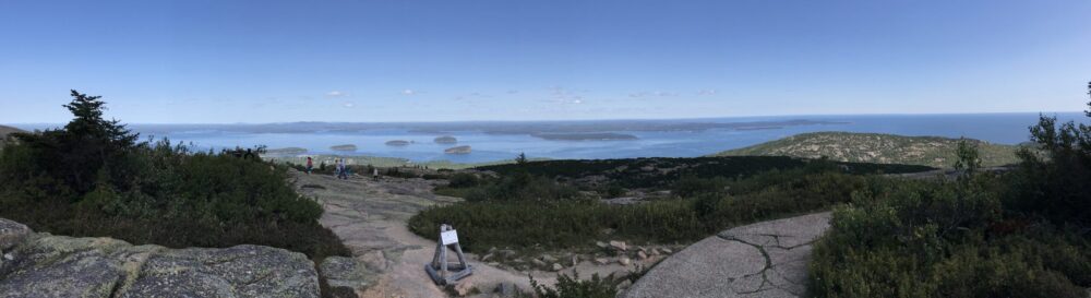
When we were still at Red Canyon, we had some time to burn so we cheated and drove the Jeep up to Bryce Canyon Nat’l Park and did the 18 mile scenic drive which had some 10 or 11 scenic overlooks. All of it was awe-inspiring absolutely fantastic! I got so many photos of so many formations I will probably get them all messed up here in this blog. But I’m a-gonna give it a try.


Time to move on. Just a mere 20 minutes up the scenic Hwy. 12 we pulled into Bryce National Park, intent on staying at the North Campground inside the park. Unfortunately, even though the sign at the entry station said there were vacancies, we pulled in at 8:30 am and found no vacancies (lots of reservation tags on the posts of empty sites and a little early to see if any of the occupied sites would be leaving). The Sunset Campground, also inside the park, is not suitable for larger rigs; the sites are too short and the interior roads are skinny and tree-lined for an exciting experience in motorhome navigation if you dare. So we opted to help support the Ruby family and stay at the Ruby Inn, RV Park, and Campground. It appeared the Ruby family owned everything in the town of Bryce Canyon City. The plus for this was they had FHU’s so we could do laundry, otherwise they charged $48 per night which is a bit much.
We got set up at our site and took off to check out Mossy Cave which had a 0.4 mile trail to the cave and waterfall and was located just outside the Bryce Canyon Nat’l Park off of Hwy. 12 toward the town of Tropic. The hike was easy and the scenery was still gorgeous.


Jeanne and I decided to do the Figure 8 Combination Hike; about a 6.5 mile round trip hike through the “castles” combining the Queen’s Garden, Peekaboo Loop, and Navajo Loop trails. Since daytime temps were still a bit warm, we decided to get up at 5:00 am for this extravaganza. We started out at Sunrise Point as the sunrise began. This was a popular spot at sunrise, the tour buses and tourists just flooded in for the viewing at that time. We took a couple of sunrise pix, then promptly headed off on the Queen’s Garden Trail. The scenery throughout the park is indescribable and photos just don’t do it justice. But the varying rock formations evoked memories from childhood when we used to “see” certain objects in the cloud formations in the sky. In the rocks we would see a castle over here, gnomes over there, a couple of times we saw Madison (our recently deceased Cocker Spaniel), and many other likenesses. The Queen’s Garden intersected with Navajo Loop, which then intersected with the Peek-a-boo Loop, and finished up at the tail end of the Navajo Loop, taking us through “Wall Street” and to the top at Sunset Point. Another half mile walk along the rim returned us to Sunrise Point. The Figure 8 Trail we hiked was listed as “strenuous”. Parts of it are combined for hikers and horses, and there were a couple of pretty steep grades which would certainly be challenging for the elderly (hey, that’s me!). But the entire trail was very solid and plenty wide enough, no rock scrambling required. And starting earlier in the day, fellow hikers are few and far between until about 10:00 am which seems to be the starting time preferred by many. All in all, Bryce Canyon Nat’l Park was a spectacular vision, not at all what I had envisioned and it should be a “must see” on anyone’s list if you happen along this neck of the woods.


Well, onward and upward. We’re thinking about a stop at Grand Staircase Escalante Monument, but you just never know where we are gonna land…